


|
|
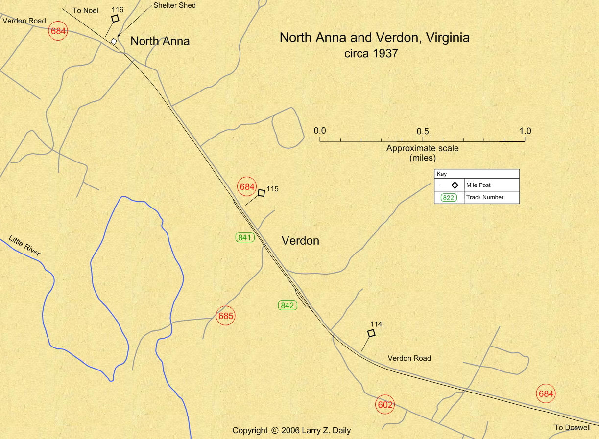
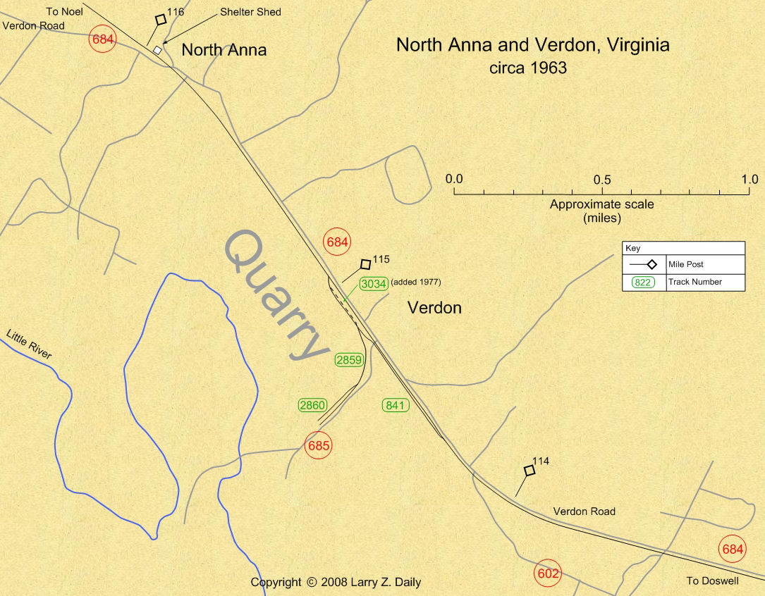
C&O Milepost 115.9
Station Number: 116
Code Number: 0173
This station’s name came from the nearby North Anna River, which flowed through parts of Orange, Louisa, Spotsylvania, and Hanover Counties. In Hanover, it joins the South Anna River to form the Pamunkey River. Both rivers were named in honor of Queen Anne. There was a passenger shed along the tracks here until 1964, but I know of no other C&O facilities. Today, there’s nothing there but a grade crossing.
Photo |
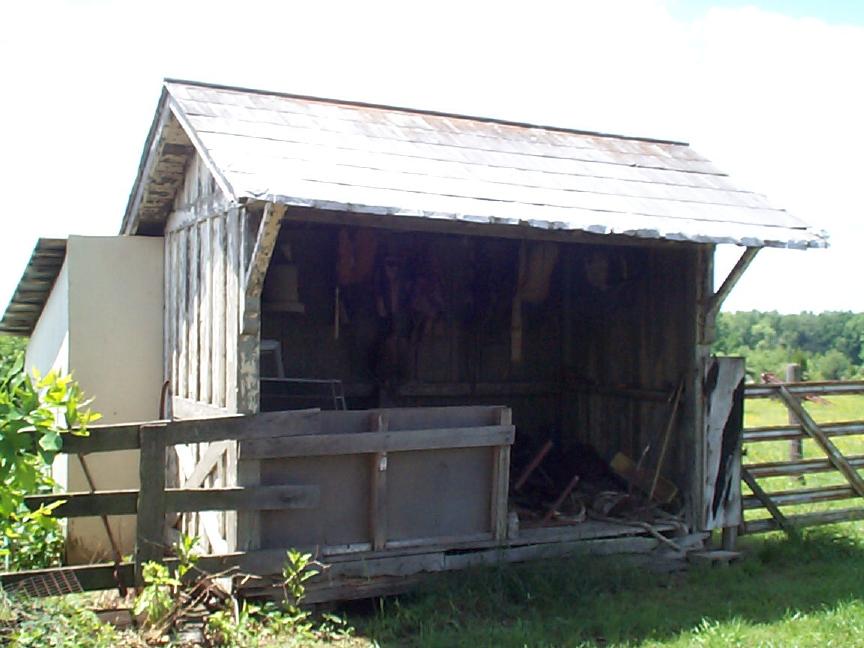
This passenger shelter was moved from its location in November, 1964. It is now in use as a storage shed on a nearby farm. (2002 photo by Larry Z. Daily)
Maps |
These maps were prepared from U.S.G.S. topological maps, C&O track charts dated 1963, C&O Side Track Records dated 1937, a copy of the Side Track Records updated through the 1990’s, and C&O Valuation maps, also updated through the 1990’s.
Stations |
|
You are visitor number
to this site since the new counter was inaugurated on June 28, 2004.
This site was originally established in 1997.
| Mail comments to: | Larry Z. Daily |
Please note that, due to a huge volume of spam coming in on my email account, I’ve had to change my email address. The new address is lzdaily@nospam.piedmontsub.com (but remove the nospam and the dot before piedmontsub.com).
Copyright © 1997-2025 Larry Z. Daily. All rights reserved.
All materials on this Web site are protected by United States
copyright law. This includes, but is not limited to, articles and graphics. Unless
otherwise indicated, these materials are the property of Larry Z. Daily and may not
be used without prior written permission of Larry Z. Daily